
Tag: hiking
-
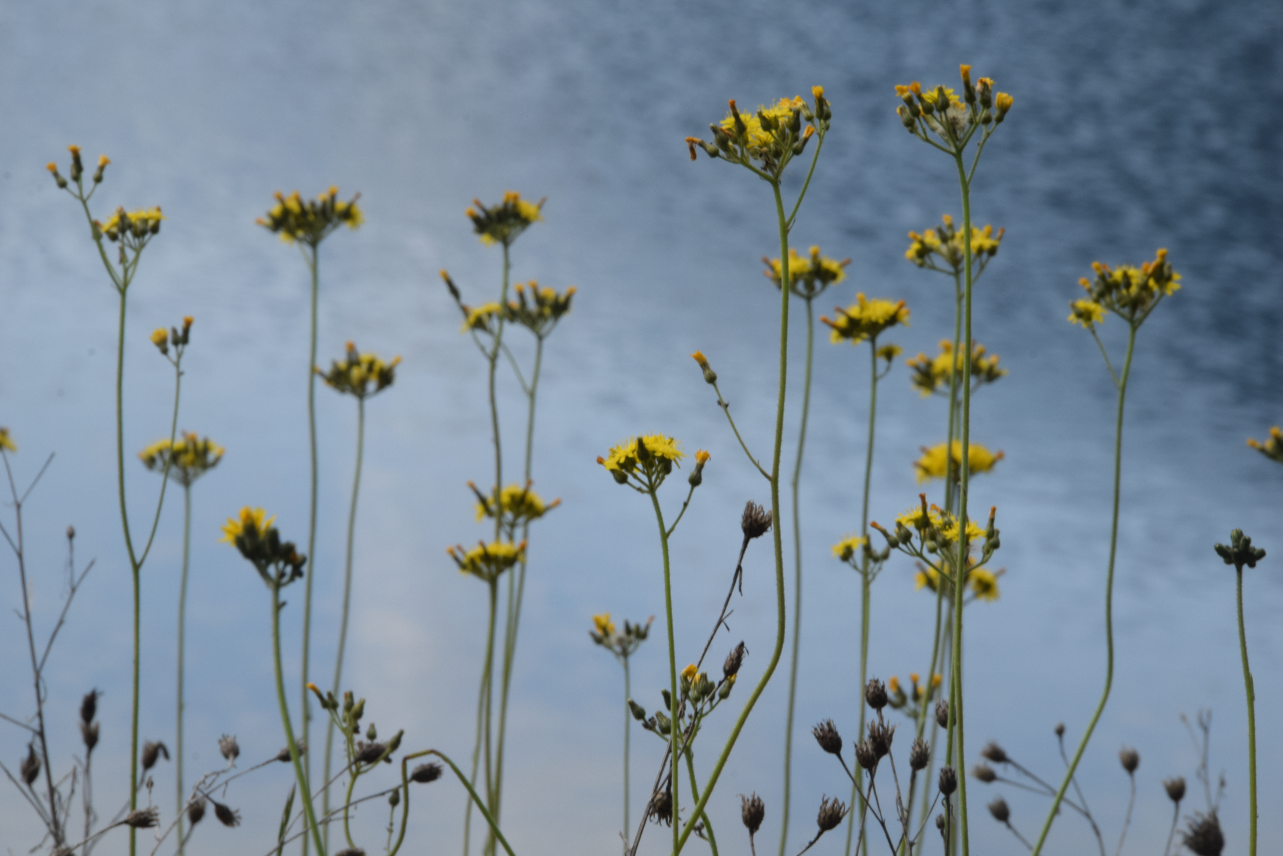
Hiking: Chaparrosa Peak

Miles-8 Elevation-5500 ft. Getting there- From I-10 take route 62 north towards Yucca Valley. In 19 miles turn left on Pioneer town road. In 7.5 miles turn left onto Pipes Canyon Road. In .9 miles the road ends at the Pioneertown Mountain Preserve. High above the city of Yucca Valley, up a twisting road past…
-
Photo Essay: Home for a week
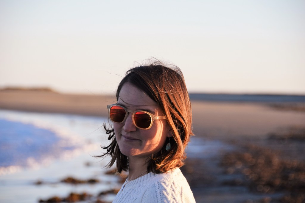
How to pack as much as possible into a week in Maine. When you miss your flight and get in a day late spend whats left of the afternoon at a local apple orchard, extra points if they have baby goats. Use every bit of daylight to see the sights. This means going to the…
-
Hiking : Middle Palisade
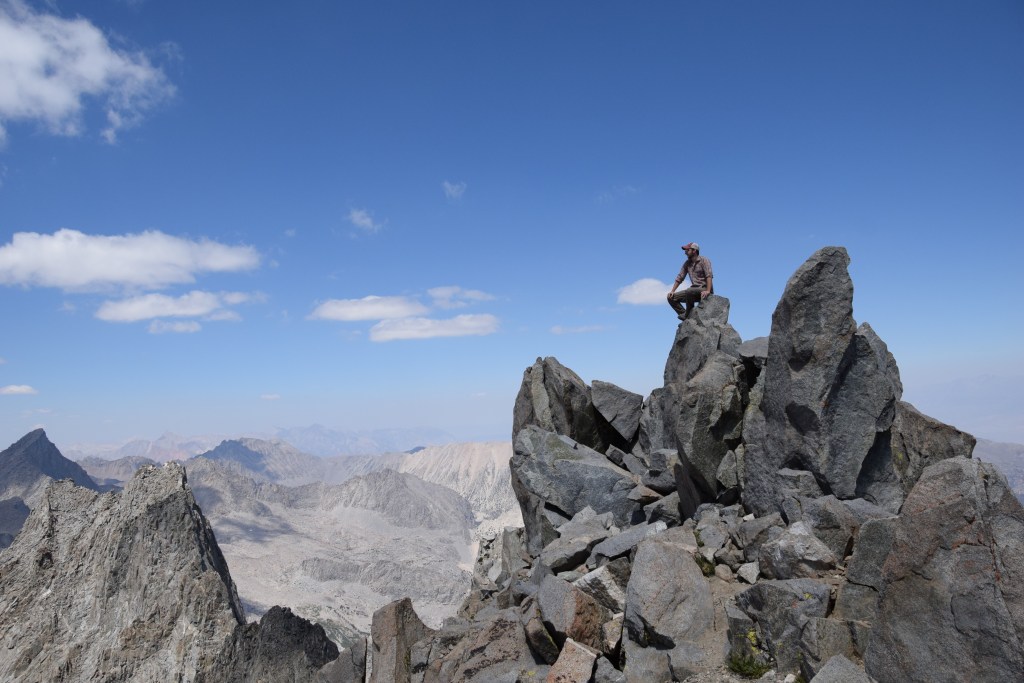
Elevation- 14,019 Distance- 12 miles round trip ( An estimate – the last part of the hike is off trail) Oh Eastern Sierra, how I love thee. The only part I do not love is having to wait till 8am at the Ranger Station surrounded by pushy Mt. Whitney hikers just so I can get…
-
Why I Hike Solo
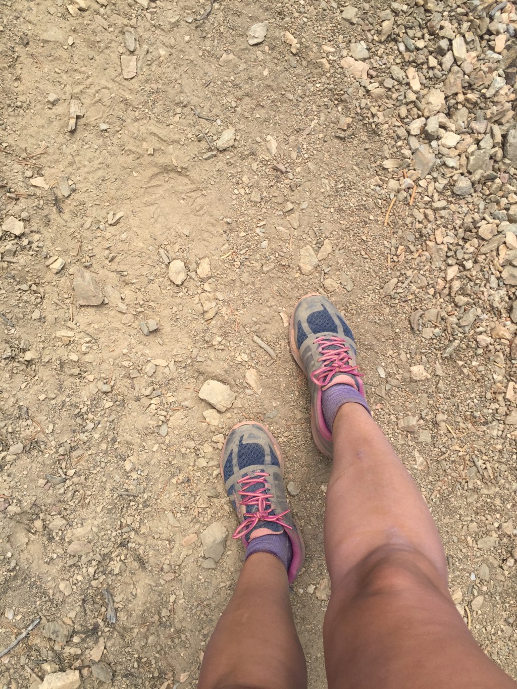
I begin to ascend out of the dirt parking lot. It is early and I do not pass anyone on the trail. All I can hear is the shrill call of a Steller’s Jay in an otherwise quite forest. The early morning dew helps to keep the dust down, but later, when the sun…
-
To The Sierra Nevada With Love

Over the past few years I have fallen in love with the California’s Sierra Nevada mountain range. Since moving to California I have become a self proclaimed desert rat, odd for a girl from Maine. But something about the high alpine lakes and the lichen covered granite of the Sierras remind me of home. Since…
-
Hiking : Mt. Langley

Mt. Langley, 14,026 feet of sandy windswept granite is one of the high places of the world. Langley is my second 14er and number 14 on my 30 for 30. My friend and I picked up our permit at the Lone Pine ranger station and started the hike in. Unfortunately we were not able to…
-
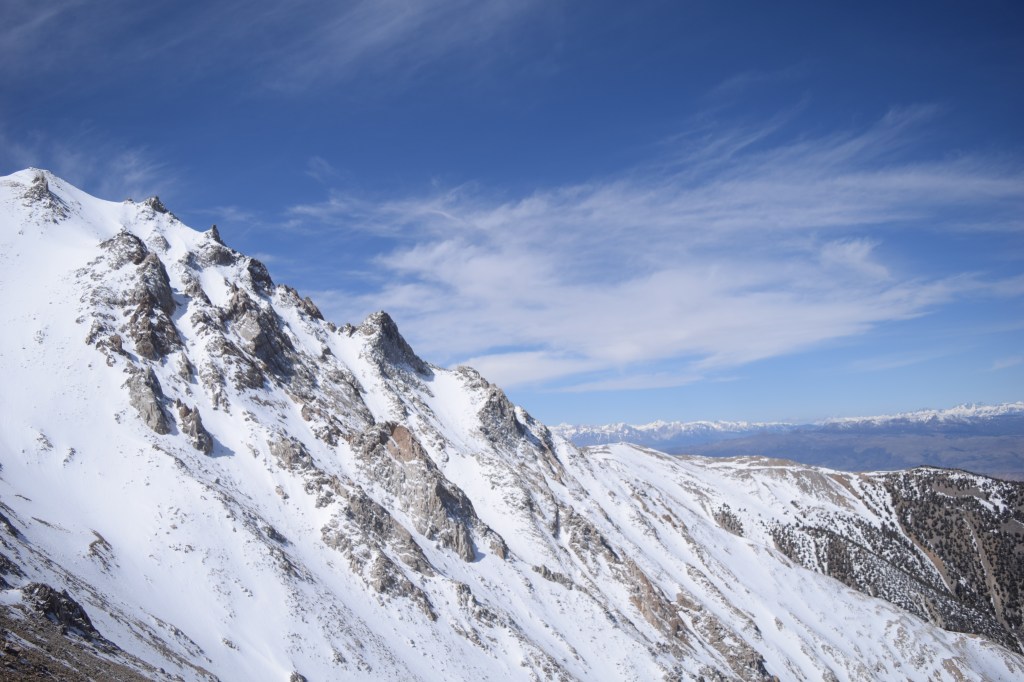
White Mountain and the Ancient Bristlecone Pine Forest

We recently visited the Inyo National Forest to hike White Mountain and see the ancient bristlecone pines. Typically when we drive north on highway 395 we are headed to the eastern sierra, this time we made the turn east towards the White Mountains. Highway 168 out of Big Pine winds up out of the…
-
Photo Essay-Channel Islands National Park: Santa Cruz Island
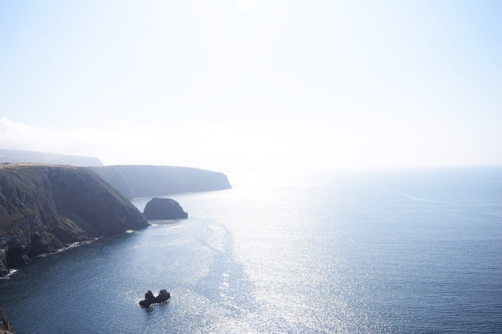
“The island is ours. Here, in some way, we are young forever.” ― E. Lockhart
-
Hiking : Boundary Peak
At 13,146 feet Boundary is the highest peak in Nevada. It is located in the white mountain range east of Benton California and west of nothing at all Nevada. We took Queen Mountain Road off highway 6 just east of the California/ Nevada border. Interestingly enough the vacant building across from the turn used to…
-
Write and Hike
Or hike and hike with no write. Trying to find a balance has been rough. I set forth a goal for myself to hike 30 peaks for my 30 years of life. I am running bit behind. I have until February and at the rate Im going now I have to average three peaks a…
