


Miles-8
Elevation-5500 ft.
Getting there- From I-10 take route 62 north towards Yucca Valley. In 19 miles turn left on Pioneer town road. In 7.5 miles turn left onto Pipes Canyon Road. In .9 miles the road ends at the Pioneertown Mountain Preserve.
High above the city of Yucca Valley, up a twisting road past the hipster saturated walls of Pappy and Harriet’s there lies a hidden gem. I discovered this relatively untracked bit of land while searching for new peaks to bag within an easy drive from my house. With Google earth as my guide I flew over my local mountain ranges searching for the perfect peak. That is when I noticed a mountain icon in one of my favorite places, the high desert. All ready to check out this new area I invited along my friend Cat, fully warning her about my tendency to stop mid hike to snap photos.
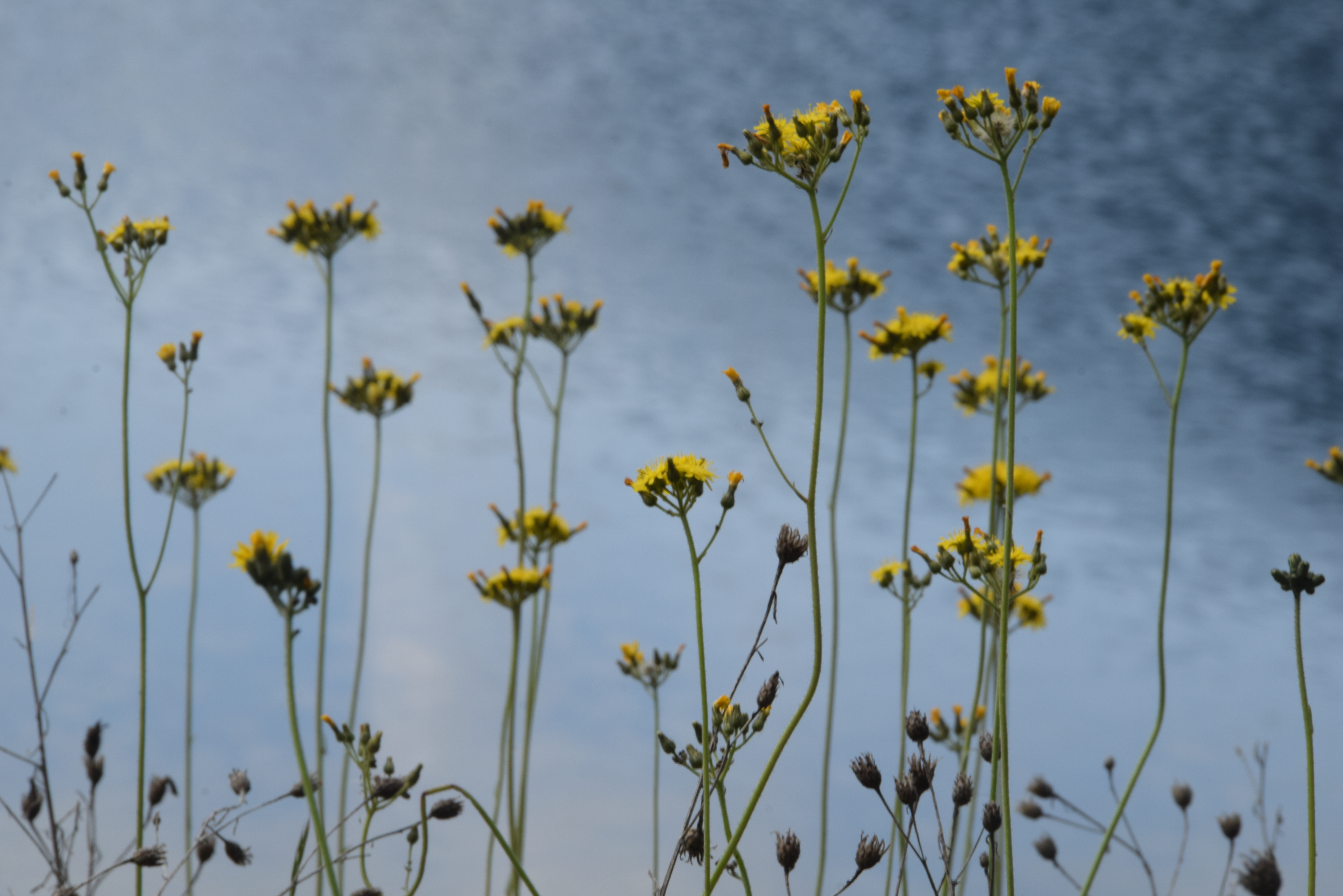
Chaparrosa Peak lies within the 25,500 acre Pioneertown Mountain Preserve. The Preserve sits between Joshua Tree National Park and the San Bernardino National Forrest. The landscape is everything you would expect from the high desert, the sprinkling of Joshua trees, dusty green sages and thorny scrubs that snag bits of your hair and leave sharp kisses on your skin. In 2006 a lightening strike started a fire which grew to 70,000 acres scorching the land and laying its bones bare. Although the plant community has mostly recovered there are reminders of the blaze throughout the landscape. The trail to Chaparrosa peak follows Pipes Canyon crisscrossing a seasonal creek bed. The trail dips down into dense willow thickets and up onto alluvial terraces. I should mention we had a shadow for the duration of our hike. A large dog with an obvious smile and big hanging tongue. He met us in the parking lot and did not leave our side till we finished the hike. We assumed he belonged to someone working at the preserve. Whoever owned him must have been aware of his wandering tendencies. The name printed on his collar read “Roamer”. I have a soft spot for dogs and although I’m sure Roamer was scaring away all the wildlife he made a excellent hiking partner.
Desert canyons tend to hold secrets. In a land with minimum access to water all matter of life are drawn to the moisture a canyon can hold. We passed the tracks of big horn sheep, coyote, and lizard. Not far into the canyon we came across signs of human inhabitants: faded pictographs etched away from the stone by Serrano Indians. Further up the canyon we came across the ruins of an old homestead, the one time home of the Olsen family. Some of the walls of the dwelling still stood, crumbling away in the sun. The trail steeply snaked up a side canyon before depositing us unto a saddle which overlooked the high desert and foothills of the San Bernadino Mountains. After a few more miles of rocky steps graced by yucca and cholla we wound up to the summit of Chaparrosa Peak. To truly know the land you love, you should try to see it from far above. To the southeast of the peak there was a jawbone like ridge lined with large boulders which reminded me of the granite in Joshua Tree. To the northeast there lied a chain of plateaus which looked more like the topography of Utah than anything I have ever seen in California. This new perspective filled me with the desire to explore the seemingly endless playground at my feet. The trail eventually loops back around to the parking lot following an old jeep trail. Before we headed home I was lucky enough to run into a covey of Gambles quail foraging among the sage brush. The birds were a reminder that there is an abundance of life in the high desert if you know where to look.
Chaparrosa peak did not fail to deliver. The trail had everything you could ask for in an easy morning hike, history, views, and wildlife. Sometimes the best wild places are the overlooked canyons and mountains; where the crowds are non-existent and solitude comes easy. There are still places in this grand country to explore if you just search for those little known corners of the map.


